Start with the environment
A developing thunderstorm needs moisture, a way to lift air and an environment that allows rising air to remain buoyant. Surface heating, a front or convergence along a boundary can initiate ascent. As moist air rises and cools, water vapor condenses. The associated release of latent heat can help the parcel remain warmer and less dense than nearby air, sustaining an updraft.
Meteorologists describe potential buoyant energy with convective available potential energy, or CAPE. It is useful, but not a storm intensity dial. A stable layer can inhibit initiation; mixing with surrounding air can erode buoyancy. Two environments with similar CAPE can produce different outcomes because moisture depth, wind profiles and triggering mechanisms differ.
How an updraft acquires rotation
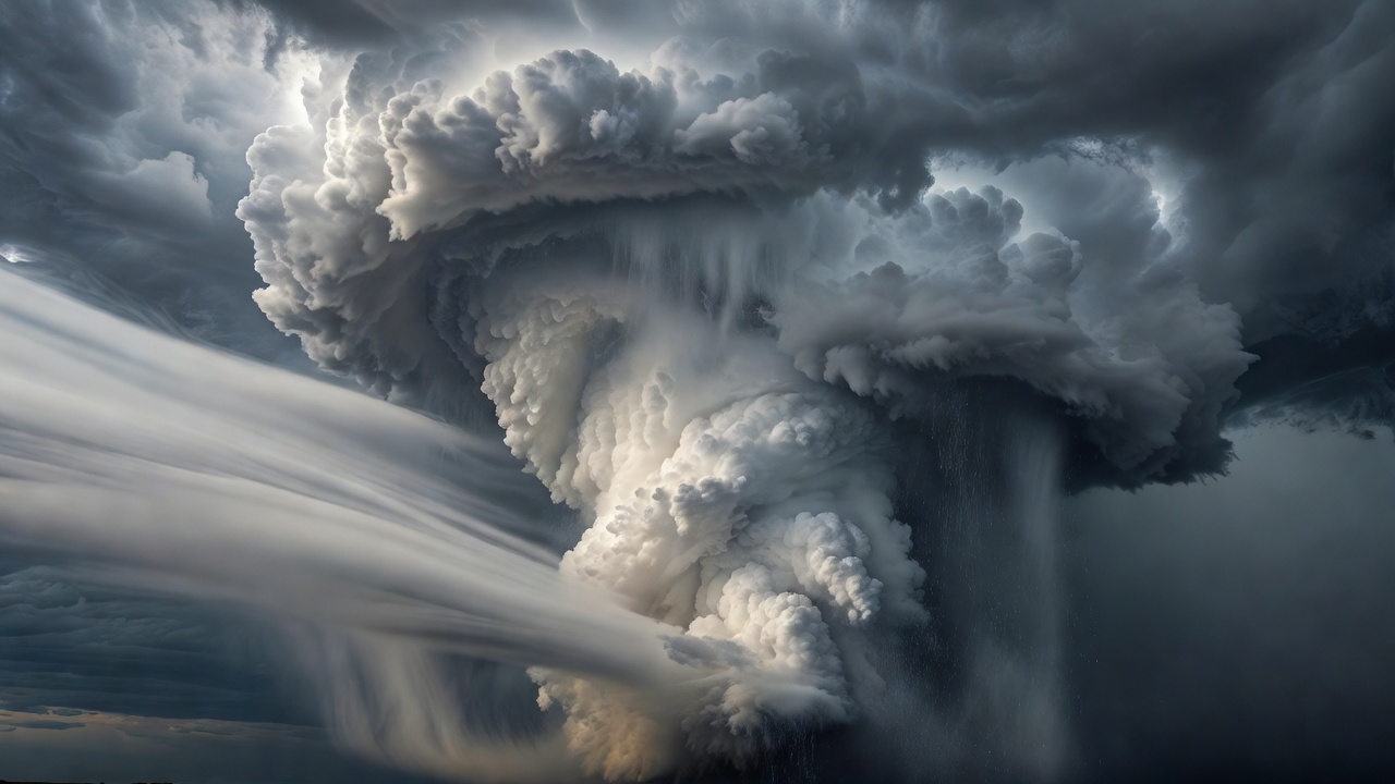
Vertical wind shear means wind changes speed or direction with height. Some wind profiles contain horizontal rotation that a growing updraft can tilt toward the vertical. Stretching within the rising air can strengthen that rotation. In a supercell, the resulting mesocyclone is a storm-scale rotating updraft, not a synonym for a tornado.
Shear also helps organize the relationship between updraft and precipitation. When rain does not immediately fall back through the strongest ascent, the storm may persist longer than a short-lived ordinary cell. This is a simplified explanation: storm motion, pressure perturbations and interactions with neighboring storms also shape the evolving circulation.
Why a mesocyclone is not a tornado
A tornado is a violently rotating column of air in contact with the ground and extending from a cumuliform cloud. The visible condensation funnel may not reach the surface even when a damaging circulation does. Conversely, a funnel aloft does not by itself establish ground contact. Dust or debris can sometimes reveal a circulation, but distant visual interpretation is unreliable.
Tornadogenesis involves processes near the ground as well as rotation higher in the storm. Downdrafts can transport and generate rotation; boundaries between contrasting air masses can supply additional vorticity. The temperature and buoyancy of outflow matter because excessively cold air may undercut rising motion. Scientists continue to investigate why apparently similar supercells have very different tornado outcomes.
The 1999 and 2013 tornadoes near Moore, Oklahoma, and the 2011 Joplin, Missouri, tornado are widely studied examples, but no single event is a template for all storms. Research campaigns such as VORTEX and VORTEX2 combined mobile radars, surface instruments and other measurements to examine the connections between the storm environment and smaller-scale circulations.
What observations can establish
Doppler radar estimates motion toward or away from the radar from returned signals. Neighboring inbound and outbound velocities may indicate rotation, but the beam samples a volume, not an individual air parcel. At longer ranges, the beam is broader and usually higher above the ground. Low-level circulations can therefore be difficult to resolve.
Dual-polarization measurements add information about the shapes and consistency of targets. Under suitable conditions, a tornado debris signature can provide evidence that debris is being lofted. Its absence does not prove that no tornado exists. Radar evidence must be interpreted alongside storm structure, environmental observations and credible reports.
Other severe outcomes matter too
Supercells can produce large hail, destructive straight-line winds and intense rainfall without a tornado. Hail grows as supercooled droplets freeze onto particles carried within a storm. Strong downdrafts can spread damaging winds across a broad area. Slowly moving or repeated storms can overwhelm drainage systems, even when individual cells are not exceptionally intense.
For readers, the useful distinction is between a physical explanation and an actionable warning. The Enhanced Fujita scale estimates tornado intensity from damage indicators after an event; it is not a direct real-time wind measurement everywhere along a track. Use official warnings and local emergency guidance for protective decisions, rather than trying to diagnose danger from a cloud photograph.