Cloud shapes are patterns in a flow
A cloud becomes visible when droplets or ice crystals are present in sufficient concentration to scatter light. Its outline is not a solid boundary. Air can continuously enter and leave while condensation and evaporation maintain an apparently stable shape. This is especially helpful for understanding clouds that seem motionless despite strong winds.
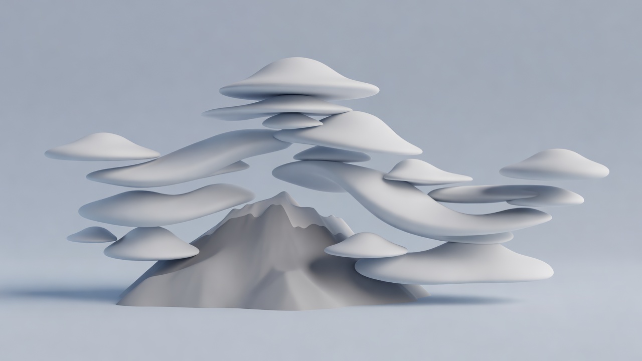
Lenticular clouds often form in standing waves created when stable air flows across terrain. Air cools as it rises within the wave, allowing condensation, then warms and dries as it descends. A smooth lens can remain in roughly the same place while air passes through it. Landscapes near the Rocky Mountains, the Andes and New Zealand's Southern Alps provide familiar settings, but the mechanism is not confined to those places.
Pouches, rolls and breaking waves
Mammatus are pouch-like protrusions beneath a cloud layer, often associated with thunderstorm anvils. Their development can involve sinking air, evaporation or sublimation and interactions between cloudy and drier air. The precise balance varies. Mammatus are not tornado funnels, and their presence alone is not a reliable forecast of a tornado at the observer's location.
Kelvin–Helmholtz billows can resemble breaking waves where layers of air move at different speeds and the flow becomes unstable. A thin cloud layer makes the motion visible, but the instability can exist without a photogenic cloud. The short lifetime and viewing angle of these features explain why a dramatic photograph may represent only a brief stage.
Asperitas describes a distinctive, rough-looking cloud appearance recognized in the World Meteorological Organization's International Cloud Atlas. A classification name identifies observable features; it does not automatically establish one unique formation process. Wave motion and changing stability can contribute to complex cloud bases. Identifying a cloud should begin with its height, context and evolution, not just resemblance to a familiar image.
Auroras begin beyond ordinary weather
The solar wind interacts with Earth's magnetic environment, transferring energy and helping drive the processes that accelerate charged particles toward the upper atmosphere. Electrons traveling along magnetic field lines can collide with atmospheric atoms and molecules. These collisions can excite them into higher-energy states. Light is emitted when they return to lower-energy states.
Oxygen and nitrogen contribute different emissions. Observed color depends on the species involved, altitude, particle energy and the time available before an excited state is interrupted by another collision. This is not simply sunlight reflecting from a cloud. Auroras occur far above the tropospheric systems responsible for most familiar weather.
Auroral ovals are organized around the geomagnetic poles, not perfectly centered on the geographic poles. During stronger geomagnetic disturbances, visible activity can extend to lower latitudes. Locations such as Tromsø, Norway, and Fairbanks, Alaska, are associated with aurora viewing because of their geomagnetic setting, but darkness, cloud cover and the timing of activity still matter.
Why a photograph may look different
A camera can collect light over a longer exposure than the eye effectively integrates for a changing scene. Sensor sensitivity, lens settings, white balance and editing further influence the result. Under dim conditions, human vision is less sensitive to color. A bright photograph can therefore show saturated hues where an observer remembers a faint grayish structure.
That difference does not make every vivid photograph deceptive. It means the observation method should be stated. A useful record distinguishes a direct visual impression from a processed image and includes approximate time, location, viewing direction and camera settings. For cloud identification, a wider contextual view may be more informative than a tightly cropped dramatic detail.
Measure the right system
Cloud observations draw on visible and infrared satellite imagery, weather radar where suitable particles are present, and measurements of humidity and wind. Auroral studies use ground cameras, magnetometers and spacecraft observations of the solar wind and magnetosphere. NOAA's Space Weather Prediction Center provides space-weather products; these should not be confused with local cloud forecasts.
For either phenomenon, a single image is a partial sample. Combine appearance with context, distinguish a proposed mechanism from a confirmed identification, and allow room for uncertainty. You can appreciate an unusual sky without treating its shape as a coded prediction of tomorrow's weather.