Build the charge before the flash
A thunderstorm is a moving mixture of air, liquid droplets and ice. In its mixed-phase region, supercooled water can coexist with ice crystals and graupel, the soft ice pellets formed when droplets freeze onto ice particles. Collisions among these particles can transfer electric charge. Updrafts and gravity then help separate particles with different sizes and fall speeds.
The sign and magnitude of charge transferred in a collision depend on conditions including temperature and liquid water content. A common simplified storm model has a main negative charge region and a positive region higher up, sometimes with an additional positive region lower down. Actual charge structures can be layered, irregular and rapidly changing. The familiar diagram is a learning tool, not a universal wiring plan.
Air does not become conductive all at once
Air normally resists electrical current. Under sufficiently strong local electric fields, processes that ionize air can establish narrow conductive regions. Exactly how the initial breakdown starts inside natural storms remains an active research question. Scientists investigate how local field enhancement, ice particles and energetic electrons may contribute, rather than assuming a simple uniform-field switch.
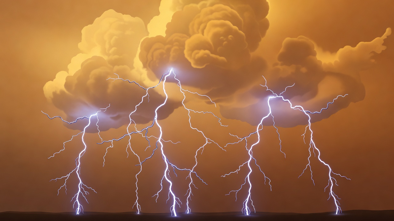
Once a developing discharge is established, branching leaders can extend the conductive pathway. In a common negative cloud-to-ground flash, a stepped leader advances downward in stages. Upward connecting discharges may develop from objects or the ground. When a connection is made, a bright return stroke propagates upward along the established channel, even though the visible event is often described as a bolt coming down.
A flash can contain several events
What the eye perceives as one flickering bolt may contain multiple strokes using part of the same channel. Other flashes remain within a cloud or connect separate cloud regions. Cloud-to-ground lightning is only one category of atmospheric discharge; counting ground strikes is not the same as counting all lightning activity in a storm.
Some flashes transfer positive charge to the ground and can differ in channel development and current characteristics from common negative flashes. Labels such as positive and negative describe electrical polarity, not a safe versus dangerous distinction. All lightning deserves respect. Nor does the absence of rain at a particular spot establish that the lightning threat has passed.
Thunder is a mechanical response
Rapid heating along the lightning channel causes the surrounding air to expand abruptly, producing a pressure wave. Close to parts of the channel, the sound can be a sharp crack. More distant sound is affected by the channel's length, the different arrival times from its segments, and atmospheric temperature and wind profiles. The result may be a long roll rather than a single bang.
Light reaches the observer much sooner than sound, so the delay between flash and thunder can provide a rough distance estimate. It cannot tell you where the next flash will occur. Terrain, buildings, background noise and atmospheric refraction can affect what you hear. Treat a delay as an explanation of sound travel, never as a reliable boundary around danger.
How scientists observe the discharge
Ground-based networks detect electromagnetic signals and estimate discharge locations and timing. Different networks are sensitive to different parts of lightning activity, so their maps and counts do not always match. Detection efficiency, sensor geometry and classification methods matter when comparing datasets or interpreting an apparent gap in observations.
On GOES-R series satellites, the Geostationary Lightning Mapper detects brief optical changes associated with lightning over a broad region. It groups observations into events, groups and flashes using defined processing rules. These satellite products complement ground networks, but cloud scattering and viewing geometry influence what is observed. Neither a satellite flash marker nor a ground-network point is a photograph of the entire channel.
Beyond the ordinary channel
Sprites and other transient luminous events occur above thunderstorms and are physically distinct from the main lightning channel. They help scientists study electrical coupling between lower and upper atmospheric layers. High-speed cameras and coordinated electrical measurements have revealed details that ordinary video cannot resolve. For a reader, the broader lesson is useful: the timescale of an instrument determines which parts of a phenomenon become visible.